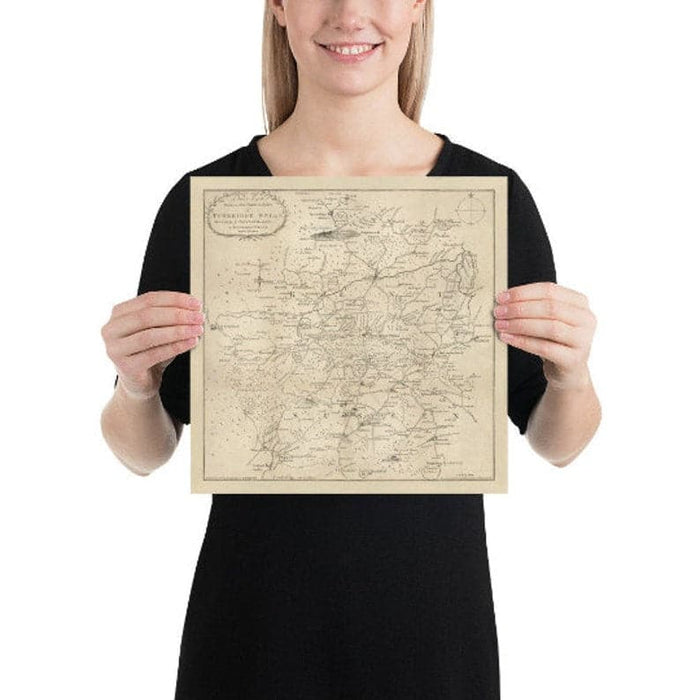
Old Map of Tunbridge Wells and 14 miles around by Jasper Sprange, 1802 - Kent, East Sussex
Old Map of Tunbridge Wells and 14 miles around by Jasper Sprange, 1802 - Kent, East Sussex


Couldn't load pickup availability

Old Map of Tunbridge Wells and 14 miles around by Jasper Sprange, 1802 - Kent, East Sussex
🔒 Order with Confidence
🔒 Order with Confidence
✅30-Day Money Back Guarantee — no risk trying it.
🚚Free shipping available. Orders processed within 24–48 hours.
🔐Secure & encrypted checkout with trusted payment providers.
This charming map shows the roads within 14 miles of Tunbridge Wells in Kent. This map dates to 1802.
Many towns and villages in Kent and Sussex can be seen here, including East Grinstead, Hartfield, Frant and Buxted (then called Buxstead!) And the Ashdown Forest and Wych Cross are clearly visible, too!
This map looks great at all sizes: 12x12 inches (31x31cm), 16x16in (40x40cm) and 24x24 inches (61x61cm), but it looks even better when printed large.
I can create beautiful, large prints of this map up to 45 inches (115cm) wide. Please get in touch if you're looking for larger, customised or different framing options.
The model in the listing images is holding the 14x14 inch (35x35cm) version of this map.
This would make a wonderful birthday, Christmas, Father's Day, work leaving or housewarming gift for someone from Tunbridge Wells or the Kent/Sussex border area.
This map is available as a giclée print on acid free archival matte paper, or you can buy it framed. The frame is a nice, simple black frame that suits most aesthetics. Please get in touch if you'd like a different frame colour or material. My frames are glazed with super-clear museum-grade acrylic (perspex/acrylite), which is significantly less reflective than glass, safer, and will always arrive in perfect condition.